
Maungaroa Ridge.
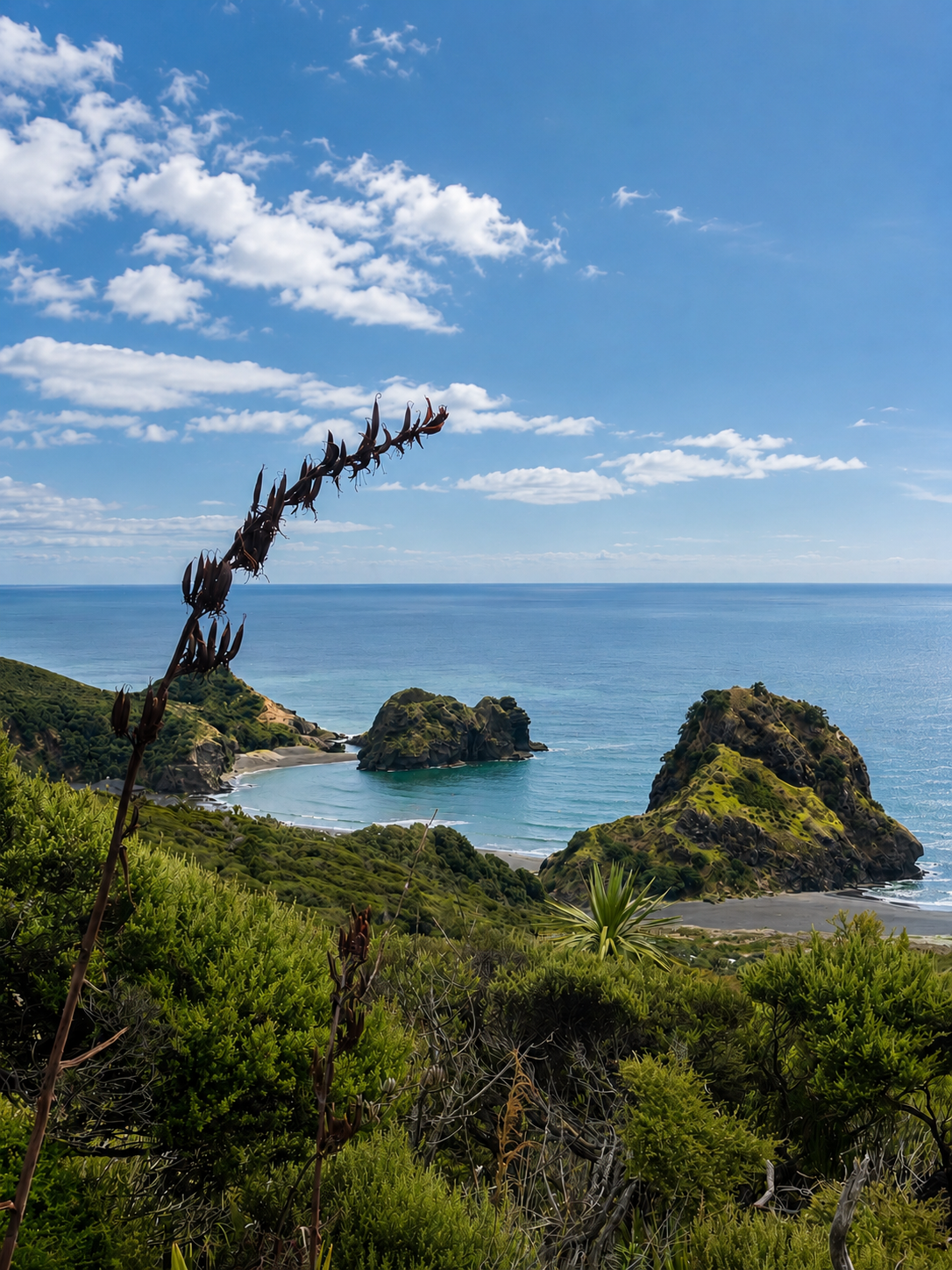
A steady climb out of the Piha valley up onto the ridge, with the village and the Tasman opening up below you as you go.
About
Maungaroa Ridge is the walk to do when you want to see Piha from above. The track climbs steadily out of the village up onto the ridgeline that forms the southern wall of the Piha valley, and the reward — for the work — is one of the best views of the whole basin. From the ridge you look back down at the village, out across the full sweep of Piha Beach with Lion Rock in the middle of it, and beyond to the Tasman doing what it does.
It's a moderate walk, not a casual one. Two hours return at a normal pace, longer if you stop for the views (and you should). The climb is steady rather than brutal — no scrambling, no exposure — but it's a proper uphill effort, and the track surface has roots and steeper sections that get slippery when wet. Decent shoes matter more than they do on Kitekite.
The bush you walk through on the way up is some of the older native forest in the area — tall trees, deep canopy, the kind of bush that reminds you Piha sits inside a serious piece of country, not just at the edge of a beach. The light changes as you climb; lower down it's filtered green, higher up the canopy opens and you start getting glimpses of sky and sea between the trees. The view at the top isn't a surprise so much as a reward — you've been earning it the whole way up.
Worth doing on a clear day; the view is the whole point, and there's no version of this walk that's worth doing in fog. Worth doing in the morning if you can, when the light is on the village and the wind is still down. Worth not doing in the rain.
If you've done Kitekite and you're looking for something with more elevation and more reward, this is the next step up. If you've done Mercer Bay and you want to see the village from the other direction, this is the answer.
Trailhead:
Glenesk Road, Piha. Look for signage on left hand side of road; parking is roadside.
Difficulty:
Moderate. Steady uphill climb. Lots of stairs.
Distance:
Around 4 km return.
Duration:
2 hours return at normal pace.
Elevation:
Around 200m to the ridge.
Surface:
Formed bush track with stairs; kauri dieback boot-cleaning stations at entry.
Highlights:
Mature native bush, ridge views over the Piha basin, full beach panorama with Lion Rock, Tasman views.
Suitable for:
Families, most fitness levels, dogs on leads.
Best for:
Visitors who've done Kitekite and want more, clear-day walkers, photographers wanting the village-from-above shot, anyone with a couple of hours and decent shoes.
Important Note:
Wet weather, low visibility, anyone wanting a flat walk.
